


RTK/GNSS Receiver R1
RTK/GNSS Receiver R1
Required
Verfügbarkeit für Abholungen konnte nicht geladen werden
Hinweise (Bitte unbedingt überprüfen)
Hinweise (Bitte unbedingt überprüfen)
Je nach Produkt muss der Kunde für den Betrieb einen Akku oder ein Smartphone bereitstellen.
Einzelheiten finden Sie im Abschnitt „Hinweise“ auf jeder Produktseite. Bitte überprüfen Sie diese.
Für diejenigen, die in Japan leben
Für diejenigen, die in Japan leben
Es tut uns leid, aber unser Shop liefert nicht nach Japan.
Wenn Sie Produkte aus Japan kaufen möchten, kontaktieren Sie uns bitte hier .
Zollgebühren gehen zu Lasten des Kunden
Zollgebühren gehen zu Lasten des Kunden
Es können Zölle anfallen.
Bitte beachten Sie, dass die Zollgebühren in der Verantwortung des Kunden liegen.


Easily Achieve cm-Level Positioning Accuracy with Triple-Frequency GNSS
The mapry R2 is a GNSS receiver that supports triple-frequency (L1+L2+L5) and network RTK, enabling stable and high-precision positioning even in forests and urban areas.
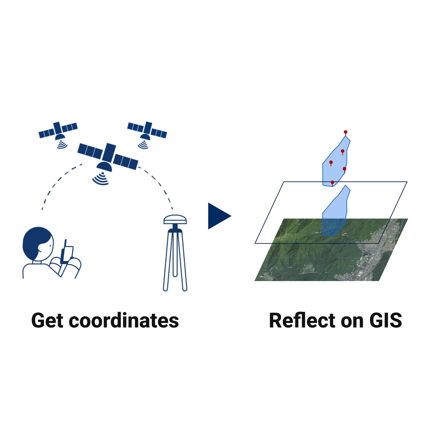
With a lightweight 188g design that can be held in one hand, it allows for the direct assignment of public coordinates (plane rectangular coordinate system) to observation data, ensuring a smooth workflow from on-site positioning to the creation of deliverables.
*It supports standalone positioning and network RTK. When using network RTK, a separate contract for an Ntrip service (such as ichimill, docomo, JENOBA, Nippon Terrasat, Japan GPS Data Service, etc.) is required.

Seamless Integration with Applications and Hardware
It can be used in conjunction with handheld LiDARs (such as LA01 and LA03) and the mapry surveying apps.
GNSS location information is shared in real-time, enabling consistent data utilization from measurement through to analysis.


Supports a Wide Range of Use Cases
Taking advantage of the assignment of public coordinates and high-precision positioning, it can be utilized in a variety of field sites such as:
- Forest Surveying: Resource volume surveys in forests, etc.
- Construction Management: Control point positioning in urban areas and construction sites, etc.
- Inspection and Investigation: Grasping current conditions, research records, etc.
Notes
Regarding the Battery
Due to air transportation, batteries are not included for safety reasons.
Power can be supplied from an iPhone or Android device equipped with a USB Type-C terminal, or from the connected LiDAR unit.
Alternatively, please prepare a commercially available mobile battery equipped with a Type-C terminal.
Regarding the Use of Applications
When performing stakeout, acquiring coordinates, or using the device in conjunction with LA01, LA03, etc., mapry's iOS/Android apps (mapry Surveying, mapry Forestry, etc.) are required.
* A contract for a basic plan, etc. is required to use the apps.
For details, please check each product page or the service list.
Software License & Maintenance
[ Pricing ]
- 1st Year: Free of charge
- From 2nd Year Onwards: 17,000 JPY per month (excluding tax)
- Flexible Subscription:
You can easily turn the monthly billing ON or OFF by yourself depending on your usage.
[ Included Services ]
- mapry Forestry (iOS) / mapry GIS (Web) / mapry PC version (Windows)
- Hardware operation apps / Hardware maintenance support (excluding parts costs, etc.)
Specifications
| Item | Specification |
|---|---|
| Product Name | mapry R2 (GNSS Receiver) |
| Supported Frequencies | Triple-frequency (L1, L2, L5) |
| Supported Satellites | BeiDou, Galileo, GNSS, GPS, QZSS |
| Data Update Rate | 1 Hz (1 second) |
| Weight | 188g |
| Power Supply Method | USB Type-C (Compatible with iPhone/LiDAR connection or mobile battery) |
| Screw Hole Specification | 1/4-inch screw hole (Mountable on tripods and mounts) |
| Offset Correction | Accurate offset correction possible with mapry devices |
| Positioning Method | Standalone Positioning / Network RTK |