


LiDAR LA03 for forest measurement
LiDAR LA03 for forest measurement
Required
Couldn't load pickup availability
Notes (Please be sure to check)
Notes (Please be sure to check)
Depending on the product, the customer may be required to provide a battery or smartphone for operation.
Details are listed in the "Notes" section of each product page, so please check them.
For those living in Japan
For those living in Japan
We are sorry, but our shop does not ship to Japan.
If you would like to purchase products from Japan, please contact us here .
Customs duties will be borne by the customer
Customs duties will be borne by the customer
Customs duties may apply.
Please note that customs duties are the responsibility of the customer.


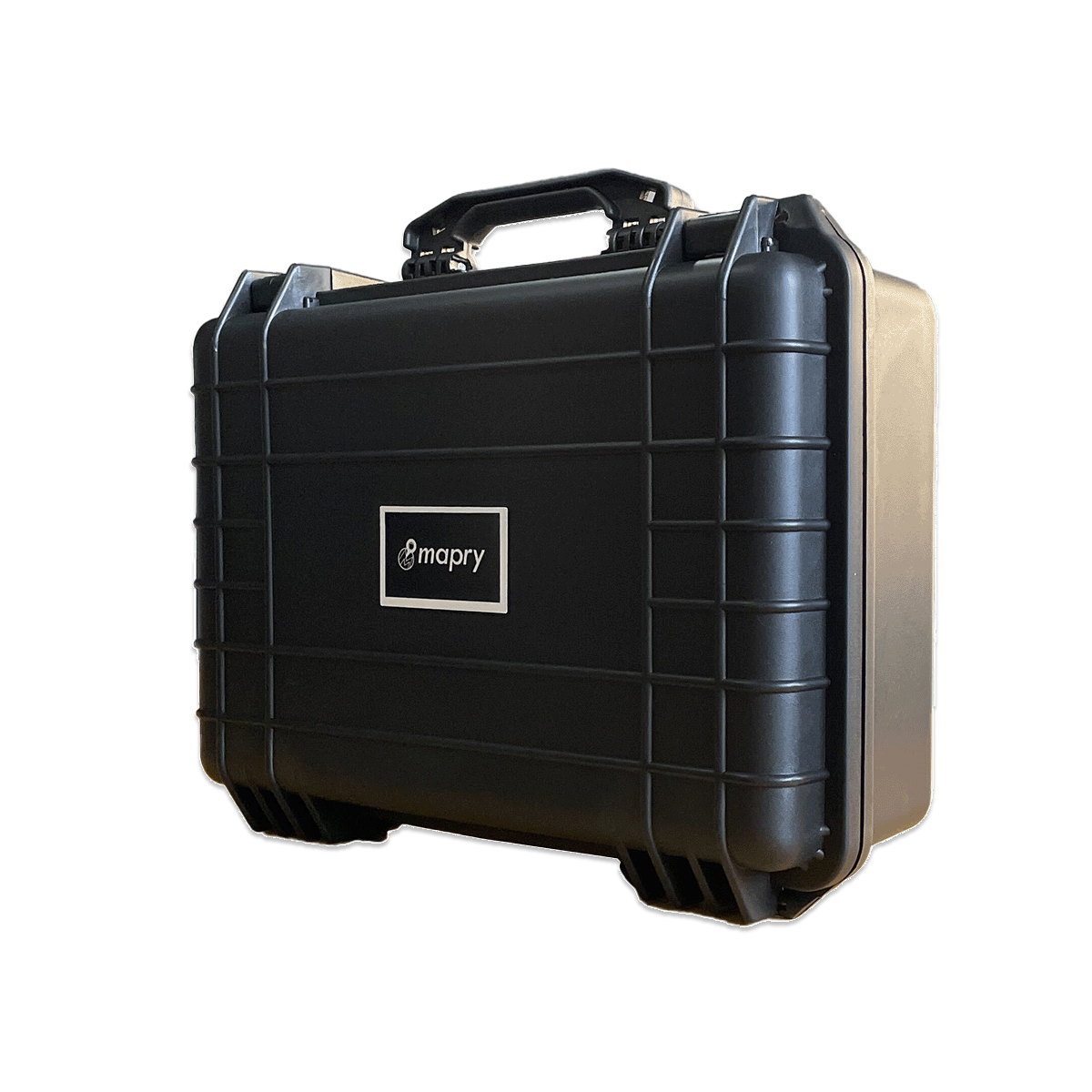
Advanced 3D Measurement LiDAR for Forestry & Research
mapry LA03-1 is an all-in-one LiDAR measurement system designed for forest resource analysis, biomass estimation, and topographic mapping. Empowering researchers and forestry professionals, it allows you to easily create 3D data of complex natural environments simply by walking.
*April 2026 Update:
The new model now supports high-precision GNSS integration and color point cloud acquisition. Additionally, the continuous measurement time has been significantly extended to a maximum of 1 hour.
*The product in the video above shows the measurement process of the previous model (LA03). The basic operational flow remains the same for the new model.
Why Choose mapry LA03-1
1. No Expertise Required: Just Walk and Scan

Measurement is completed simply by walking according to the voice guidance. The "real-time display" of camera video and point cloud data prevents any missed scans on site. It takes only about 30-40 minutes to measure 1 hectare.
2. High Precision & Color Point Clouds

GNSS integration (compatible with mapry R1 and R2) enables high-precision surveying within 50mm horizontally and vertically. It also newly supports the generation of visually intuitive color point clouds (RGB), greatly improving situational awareness and reporting accuracy for research.
3. Flexible "2-Way" Specification

To accommodate everything from vast forests to intricate survey plots, it adopts a new 2-way specification that allows you to freely switch between "backpack" and "handheld" modes depending on the field environment.
Easy Analysis with Dedicated Software
The included analysis software "mapry PC version" is free to use for the first year.
*From the second year onwards, a usage fee is required (bank transfer). Please check the license section below for details.
You can perform analyses such as:
- Importing point cloud data / Extraction of DTM (Digital Terrain Model)
- Creating contour lines / Creating slope distribution maps
- Detecting standing trees (measuring tree height and diameter)


» Download mapry PC version here
Software License & Maintenance
[ Pricing ]
- 1st Year: Free of charge
- From 2nd Year Onwards: 17,000 JPY per month (excluding tax)
- Flexible Subscription:
You can easily turn the monthly billing ON or OFF by yourself depending on your usage.
[ Included Services ]
- mapry Forestry (iOS) / mapry GIS (Web) / mapry PC version (Windows)
- Hardware operation apps / Hardware maintenance support (excluding parts costs, etc.)
Specifications

| Item | Specification |
|---|---|
| Measurement distance | 0.5 ~ 40 m |
| Point cloud acquisition rate | 200,000 points/sec |
| Camera | Effective pixels: 12 MP |
| Weight | Approx. 1,101 g (including battery) |
| GNSS compatibility | External GNSS receiver can be attached (compatible with R1, R2) |
Notes
Regarding the battery: Not included for safety reasons. Please prepare a mobile battery that supports USB PD 60W output.
Regarding the operation device: A separate Android device (6GB memory or more recommended) is required.
FAQ
Q. To which countries can the product be shipped?
We can ship the product to the countries where the currencies you can select from the top right of the screen are used. For other regions, please contact us first.
Q. Can mapry conduct a product demo locally?
We normally hold a web meeting (online) at first. We may also conduct a demonstration locally depending on the situation. Please contact us for further details.
Q. How long is the product warranty period?
The warranty period is 6 months.
Q. Is any post-purchase support available?
We will support you via email and online.
Q. How much is the shipping cost?
Please check this page.
Q. Is analysis software required?
You can use the dedicated analysis software "mapry PC version" for free for the first year.
*From the second year, a usage fee is required (bank transfer only). You can measure DTM (terrain model), cross-sections, and trees.
Q. What PC specs are required for the analysis software?
A PC with Core i7 or higher, 32GB memory or more, and GPU (equivalent to Geforce RTX 4060) is required.
Q. What devices are needed for operation?
An Android device is required to connect to the product and perform measurements. Please check the "Regarding the operation device" section on this page.
Q. Is there a technical data sheet?
Please check the simplified flyer and examples of use for J-Credit in Japan.
Q. What can it be used for?
It is used for calculating biomass volume, measuring coffee plantations and tropical forests, etc.